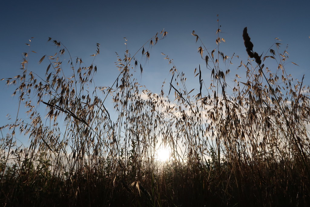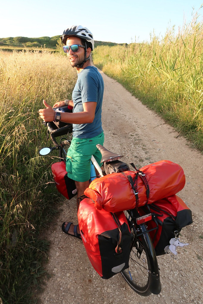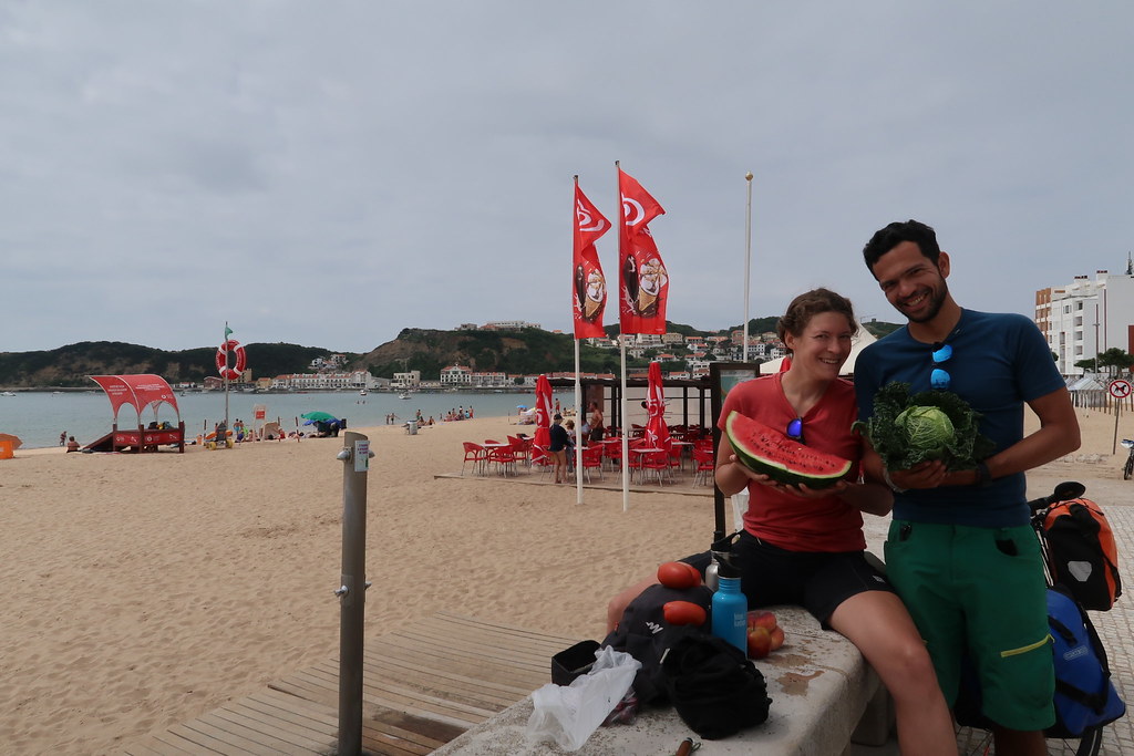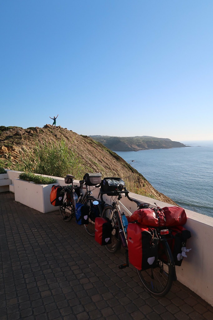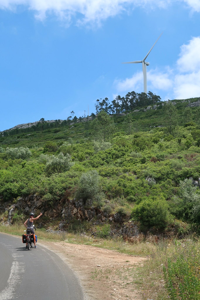
We spent the first few days wending our way north from Lisbon up the coast, hopping between friends of Pedro and beaches. Much of the route we took over the first few days patched together rides we had been on before, making navigation straight forward and leaving us to enjoy the views.
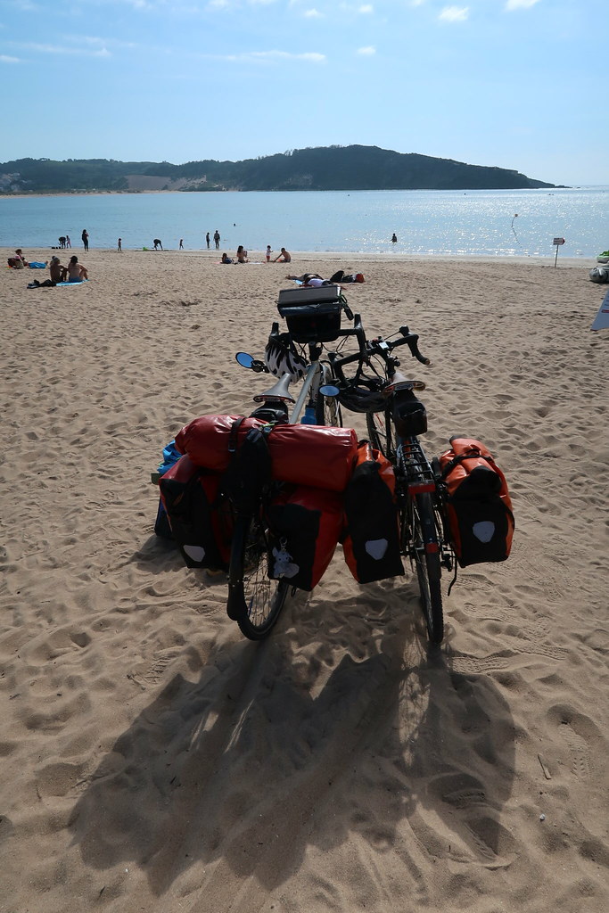
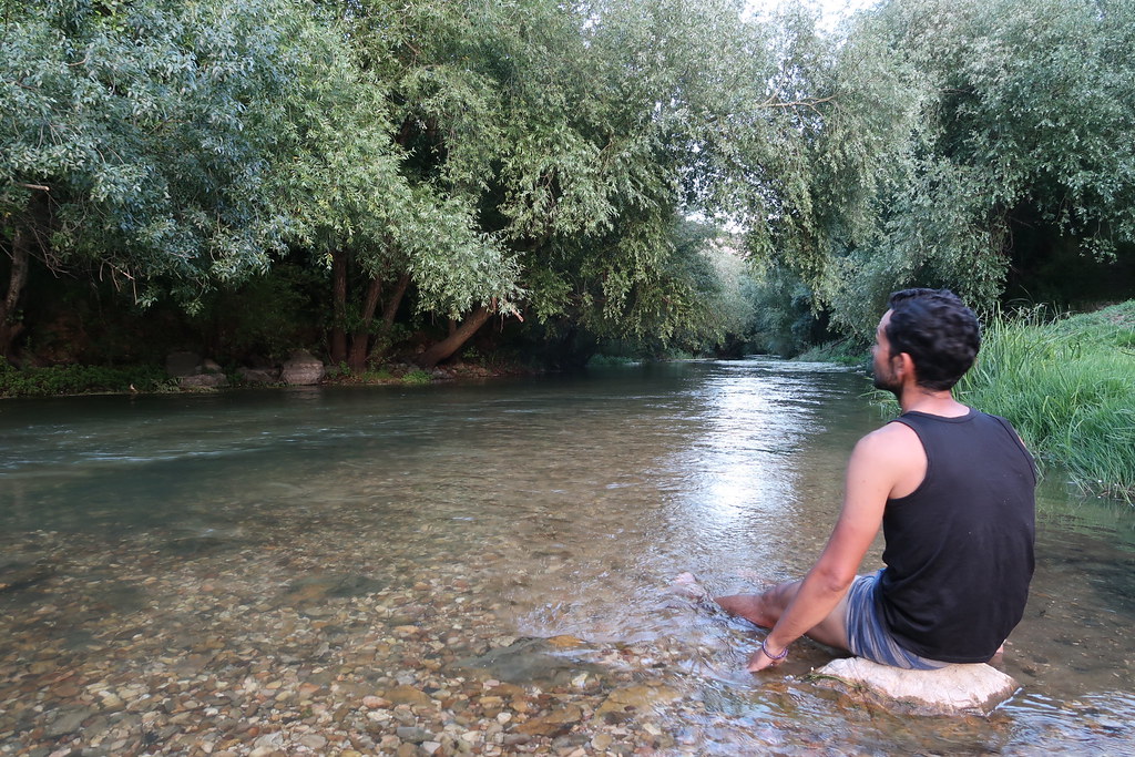
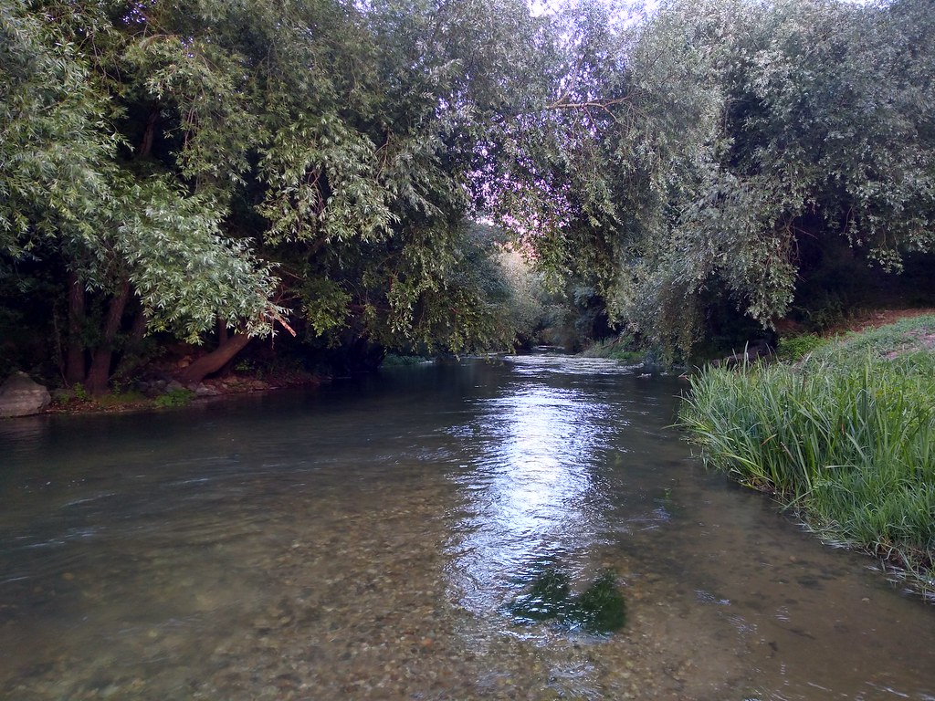
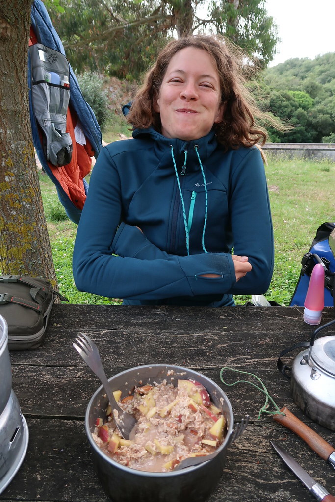
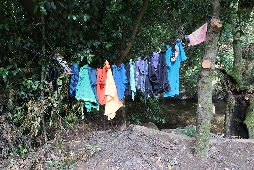
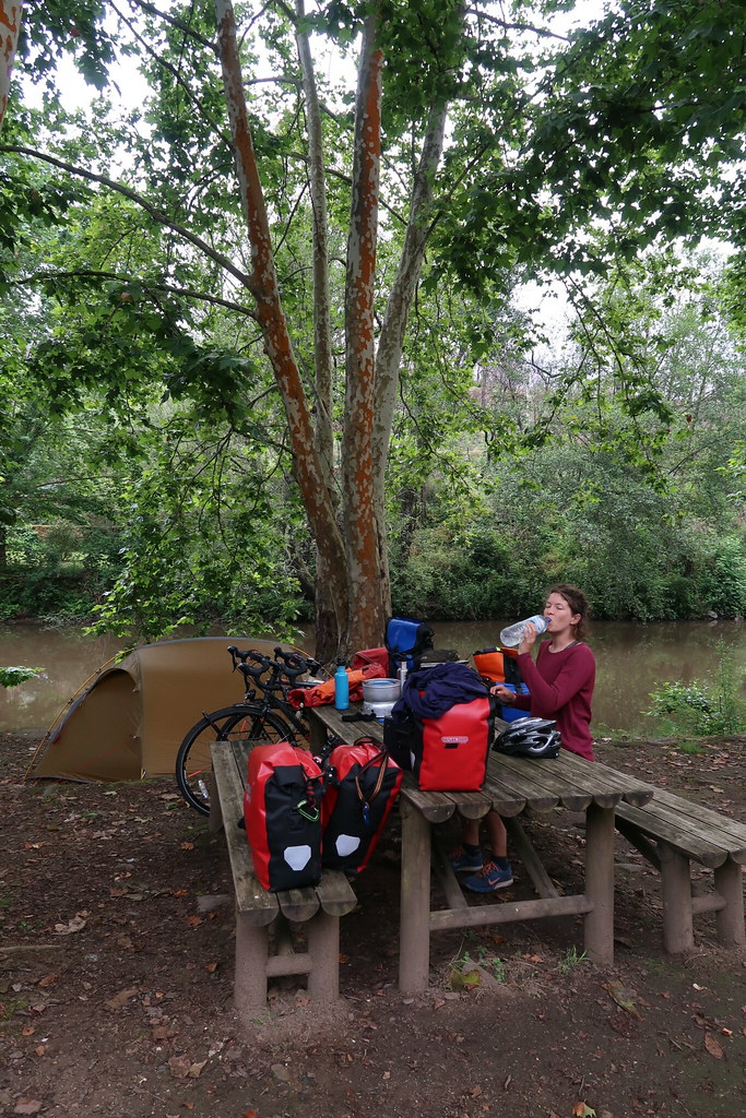
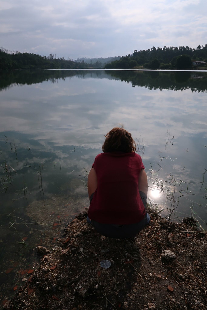
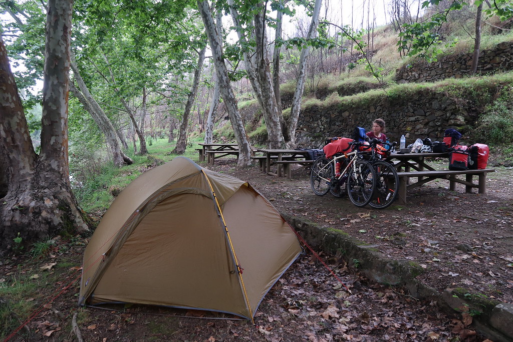
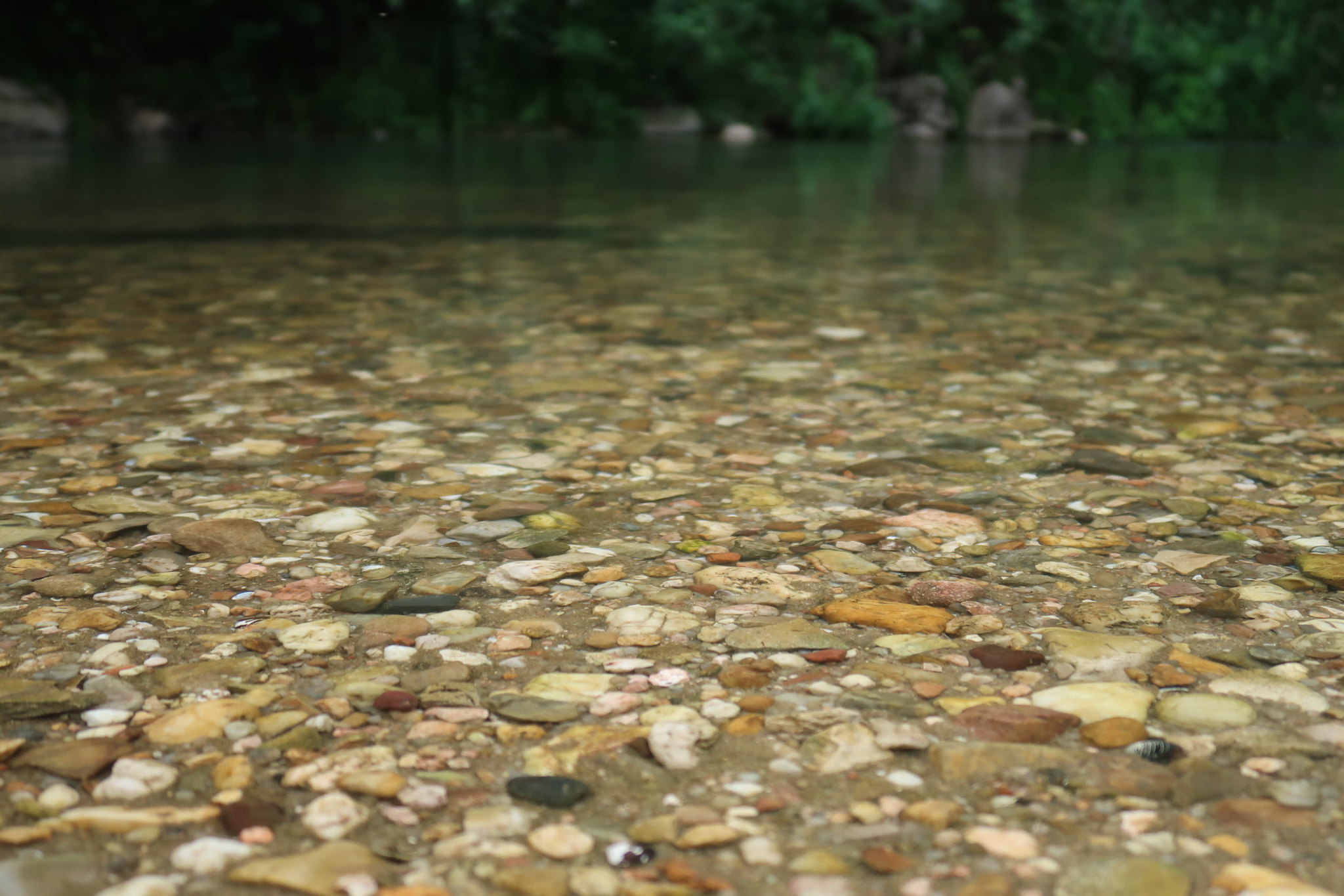
After reaching Nazaré, we headed inland and went from coastal beaches to an unplanned tour of river beaches, providing a convenient place to camp and a bonus swim too. I continued to play my usual role of mosquito bait and Pedro concoctor of tasty picnic feasts.
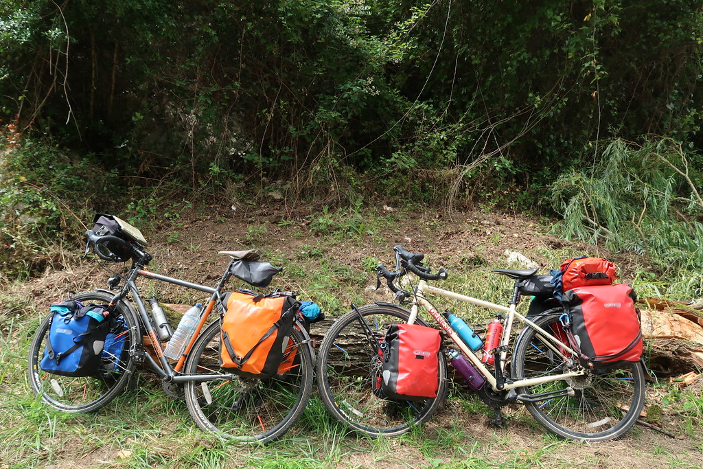
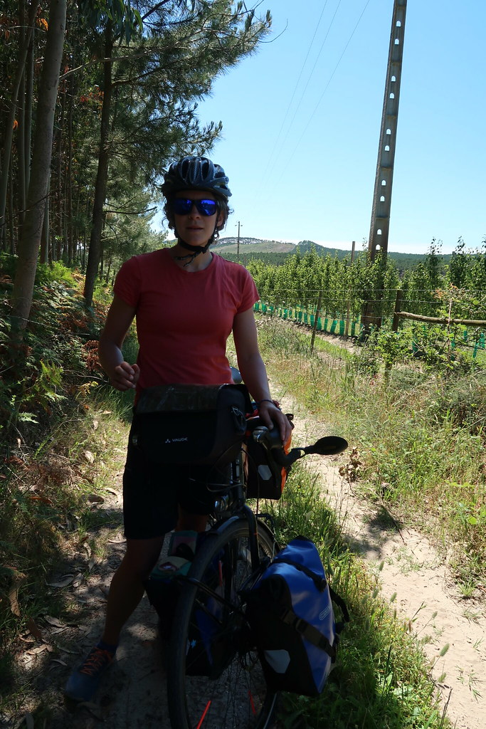
We slowly settled into our own rhythm – ironing out the creases in our packing arrangements, adding in a second lunchtime and working out the pros the and cons of old school maps vs. apps.
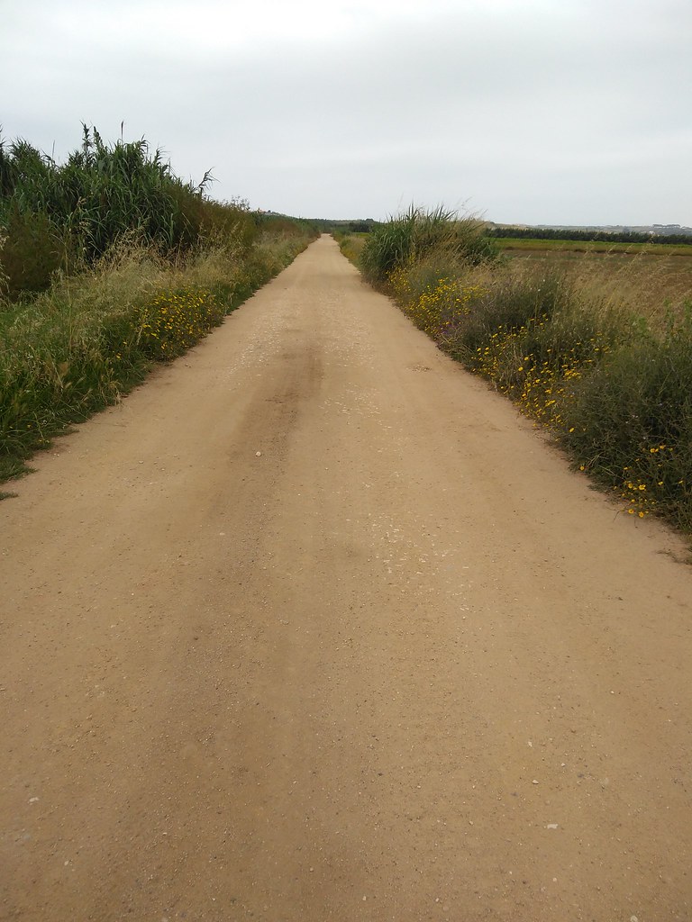
For those that care, both have their pros and cons : maps don’t need a battery, but you can’t read them after dark without a headtorch; apps can plot you a route to lazily follow, but this might take you down tracks which can barely be considered to be a footpath; maps give a good overview and are perfect for plotting a planned trajectory for the next few days, but in cities and large towns apps are life savers; apps can give you information about contour lines and elevation profiles, but maps can tell you which mountains you’re looking at.
After increasing frustration (mostly on my part) from relying mostly on apps, the great map hunt began. This mostly involved visiting every petrol station, papeleria and supermercado we passed in search of a road map of Portugal in a sensible scale. The hunt ended in Porto do Mós with a kind lady working in Meu Super offering to collect a no-longer needed map from her house to give us after her shift had finished, and a closed but promising looking papeleria. The lady’s map turned out to have been published in 1996 and of a scale which only showed highways, but the next day the papeleria saved us. Michelin map of Portugal in hand, peace was restored and cycling could continue.
We concluded that a combination of maps and offline apps is best – typically me with the map and highlighter pen, and Pedro with the app. After maps.me kept sending us down unpaved roads which disintegrated into nothing but sand and broken tiles, we invested the grand sum of 4.99€ to get the full version of OsmAnd+. Now we have contour lines, as many map downloads as we need, and pointers towards the next swimming spot. No further complaints so far.
As it was June it was festival season across Portugal, villages were decorated with bunting and the smell of sardines hung in the air. Despite most of them seeming deserted, pimba music was being piped out through speakers attached to lampposts to no-one but us and the dogs. Inevitably the bicycles danced their way through the streets.
On a less joyful note, in between the village festas we spent what must have been days cycling through a landscape scarred by forest fires. Charred trees making what should have been lush green hillsides look desolate. It was a scary sight to enter and leave a village seeing burnt trees on either side, evidence of fire so close to the houses that the paint on village signs had melted and the name was no longer legible.
Most of the fires had been last year or before as luckily new growth was apparent, with fresh young shoots breaking through the blackened remains. The rainy summer this year means we haven’t see any destruction by more recent fires, and long may it continue.